
You can visit the site of these earthquakes and view the scarps using this road guide:
The Great Highway 50 Rock Tour, by D.D LaPointe, David Davis, Jon Price and Beth Price
http://pubs.nbmg.unr.edu/The-great-Highway-50-rock-tour-p/e044.htm
You can also take a virtual tour of the area and view the scarps—check out the Travel Nevada links on theNBMG Facebook page:
https://www.facebook.com/pages/Nevada-Bureau-of-Mines-and-Geology/106397989390636[facebook.com]
This excerpt was taken from NBMG Special Publication 37:
Damaging Earthquakes in Nevada: 1840s to 2008, by Craig dePolo:
http://pubs.nbmg.unr.edu/Damaging-earthquakes-in-NV-p/sp037.htm
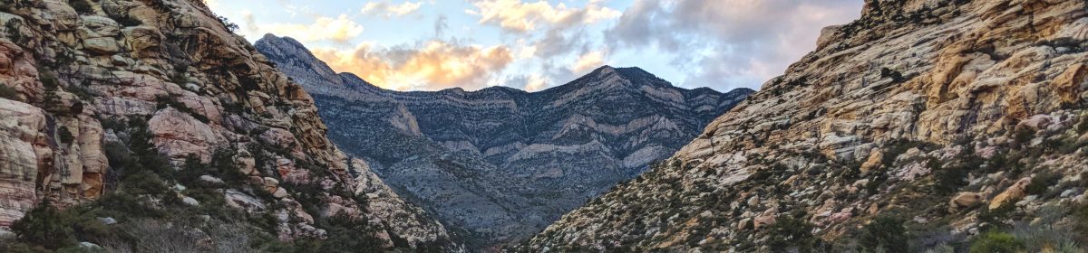
On December 16, 1954 there were two large, back-to-back earthquakes east of the Fallon area that were felt throughout Nevada and created several large ground ruptures. The first event, the Fairview Peak earthquake, a right-normal-oblique-slip event, occurred at 3:07 a.m. PST and had a magnitude of 7.1 (Pancha and others, 2006). This was followed four minutes and 20 seconds later (3:11 a.m.) by a magnitude 6.9 event, the Dixie Valley earthquake, a normal-slip event (Slemmons and others, 1965). Both earthquakes created spectacular surface ruptures over a total area of 100 km (62 mi) long and 14.5 km (9 mi) wide, with ground offsets of as much as 3.8 m (12.5 ft) vertical and 2.9 m (9.5 ft) right lateral (Slemmons, 1957; Caskey and others, 1996).
The earthquake was in a sparsely populated region, and there were no reported injuries and only minor building damage and content losses. In Dixie Valley, an “adobe cellar, gasoline tank and water tank, and stone wall collapsed,” a stove moved several feet, and a woman was thrown from her bed due to the shaking (Murphy and Cloud, 1956). In one living room, a piano “kangarooed” its way to the opposite side of the room during the shaking (FS 12/22/54). In the surrounding region, dishes broke, walls and chimneys were cracked in the towns of Austin, Luning, Mina, Rawhide, Fallon, Lovelock, Eureka, and Carson City (Murphy and Cloud, 1956). Damage in Carson City included cracked walls and fallen plaster in the Capitol building, the State Printing Building, and the State Prison (Murphy and Cloud, 1956). Water lines were broken at Lovelock, Mina and near Gabbs (Murphy and Cloud, 1956).
PERSPECTIVE (by Craig dePolo)
After 1959, earthquake activity subsided in the Fallon region and has been at a relatively low level since then. However, Nevada has a rich earthquake history, over 1500 Quaternary faults, and has active deformation detected by geodetic measurements. Major earthquakes are in Nevada’s future and much attention will be focused on these events when they occur and on earthquake preparedness and resilience. Nevada has had a window of opportunity to prepare for the next events, and great things such as freeway bridge seismic retrofits have occurred during this window. But preparedness for earthquakes must continue, especially at a personal level, if we are to have fewer injuries and property losses from future events. “Give the gift of preparedness.”

One thought on “Fairview Peak and Dixie Valley Earthquakes M7.1 and M6.9 — December 16, 1954”